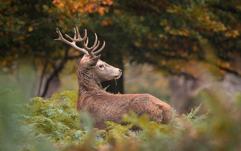
 Photo: Julian Herzog, CC BY 4.0
Richmond Park
IconicRichmond Park has endless trails that take you past its famous deer, beautiful lakes, wide grassland and woods. Come for a scenic run, a long walk or a morning picnic.
Route map & GPS tracks
Tap GPX to download a track for your watch or route app (Garmin, Strava, Komoot and others).
Refresh at a Coffee Shop or a Pub
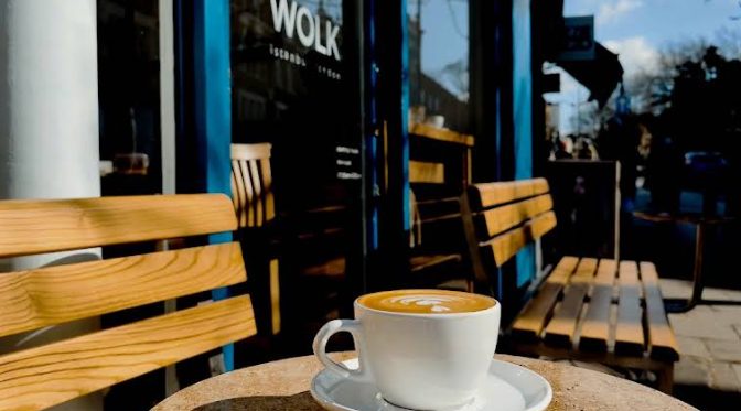
Wolk Coffee
16 Hill Rise, Richmond TW10 6UAA specialty coffee shop with fresh bakes, at the foot of Richmond Hill near the river.
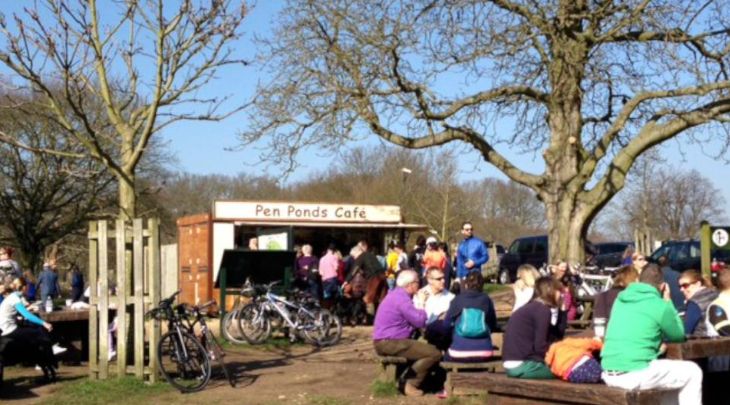
Pen Ponds Kiosk
Pen Ponds car park, Richmond Park TW10 5HXA Royal Parks takeaway kiosk in the middle of the park. Take your coffee to the benches by the ponds.
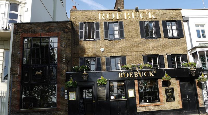 Photo: Edwardx, CC BY-SA 4.0
The Roebuck
130 Richmond Hill TW10 6RNThe Roebuck pub with arguably the best view of any London pub, over the Thames view protected by an Act of Parliament. Take your drink across the road to the terrace.
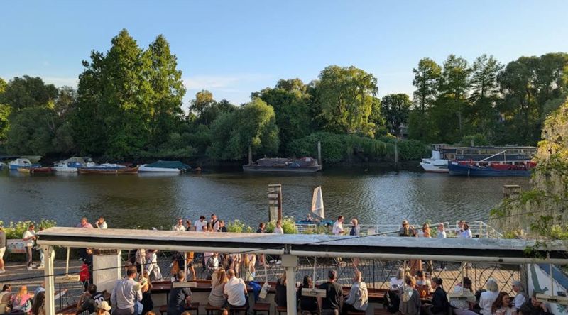
The White Cross
Riverside, off Water Lane, Richmond TW9 1THA pub right on the Thames by Richmond Bridge. On the highest tides the river floods the terrace and the pub lends out wellies.
Rail or District line to Richmond, then a 15-minute walk up Richmond Hill to Richmond Gate.
Early morning for the deer and the mist.
Cafés and toilets at Pembroke Lodge, Roehampton Gate and Pembroke car park.