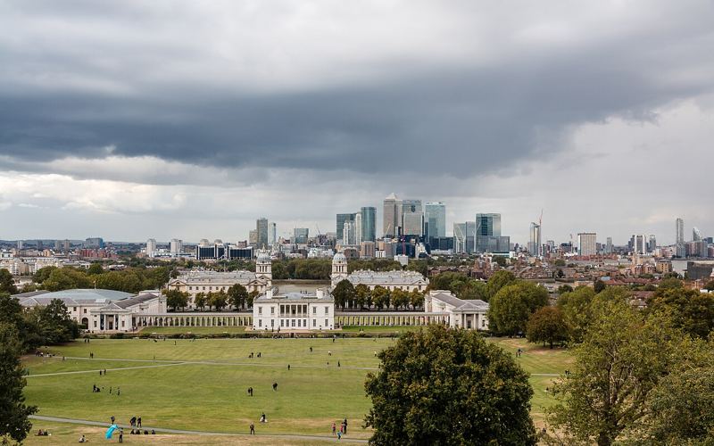
 Photo: Dietmar Rabich, CC BY-SA 4.0
Greenwich Park & the Thames Path
Distance5.5 km · 3.4 mi
TypeLoop
TerrainHilly
SurfaceMixed
The park's perimeter is about 3 km, with a short, sharp climb to the General Wolfe statue and the Observatory at the top. Come down past the Queen's House to the river, then follow the Thames Path past the Old Royal Naval College. Carry on east towards the Greenwich Peninsula for 4 to 5 km more of flat riverside.
Route map
Start1LandmarkCoffeePub
Refresh at a Coffee Shop or a Pub
Best coffee
15grams
28 Greenwich Church Street SE10An independent roastery café on the corner of Greenwich Market, a few steps from the Cutty Sark.
170 m from the route · ~2 min walkDirections ↗
Best pub
Trafalgar Tavern
Park Row, Greenwich SE10 9NWA grand riverside tavern built in 1837, beside the Old Royal Naval College, with tall windows over the Thames. Dickens was a regular.
240 m from the route · ~3 min walkDirections ↗
Getting there
DLR: Cutty Sark. Rail: Greenwich or Maze Hill.
Best time
Early, before the Observatory crowds.
Facilities
Cafés and toilets in the park and the town centre.