Nature in the city · Run · Walk · Unwind
Explore green
city spaces.
Find the parks, heaths and riverside paths hidden inside the world's great cities. Routes for running and walking, with real GPS tracks, maps, and the best coffee and pubs to finish at.
 Now liveLondonRoyal Parks, wild heaths and Thames paths
Start with London
Eight green escapes, from the Royal Parks in the centre to the deer of Richmond Park.
 Iconic2 GPS TRACKS
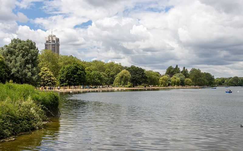
Hyde Park & Kensington Gardens
Central London's classic. Wide, flat paths around the Serpentine and Kensington Gardens, past palaces, fountains and Speakers' Corner.
Diana Memorial Walk
IconicA seven-mile figure-of-eight through St James's, Green Park, Hyde Park and Kensington Gardens, waymarked by plaques set into the path.
 Iconic1 GPS TRACK
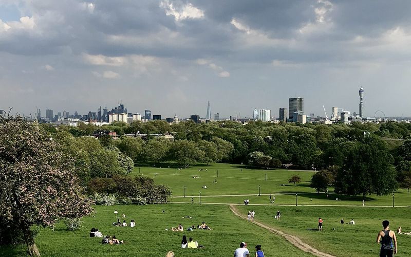
Regent's Park & Primrose Hill
Lap the Outer Circle, then climb Primrose Hill for one of the best free views of the London skyline.
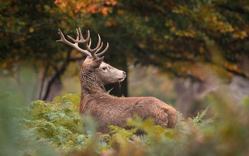
Iconic3 GPS TRACKSRichmond Park
London's biggest Royal Park. Tarmac and gravel routes with hundreds of free-roaming deer and some of the best views in London.
 1 GPS TRACK
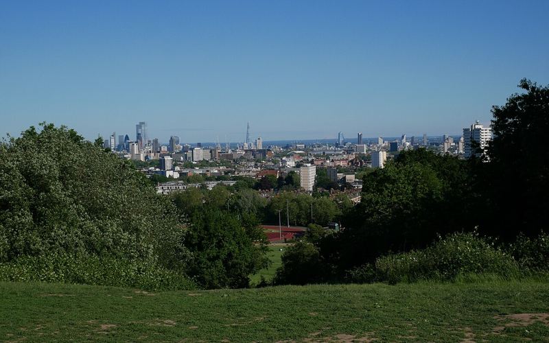
Hampstead Heath & Parliament Hill
Wild-feeling heathland in North London, with muddy trails, swimming ponds, Kenwood House and the skyline from Parliament Hill.
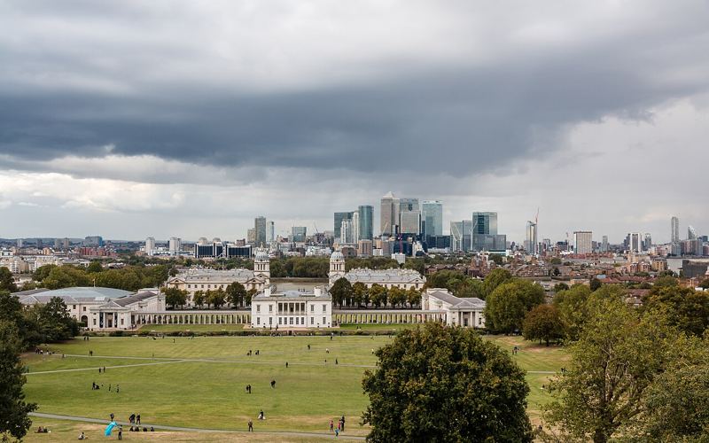
Greenwich Park & the Thames Path
Climb to the Royal Observatory and straddle the Prime Meridian, then loop back along the Thames past the Cutty Sark.
How we pick routes
Parks over pavements
Every route is built around a park, heath, forest or waterfront. Fewer crossings, more trees.
GPS you can download
Routes recorded by real runners and walkers, ready to load onto your watch.
Honest detail
Distance, terrain, surface and climb, so you know what you're getting into.
Coffee or a pint
Our favourite coffee shop and pub on or near every route.
Coming next
Paris, Barcelona, Lisbon and Sydney are on the way.