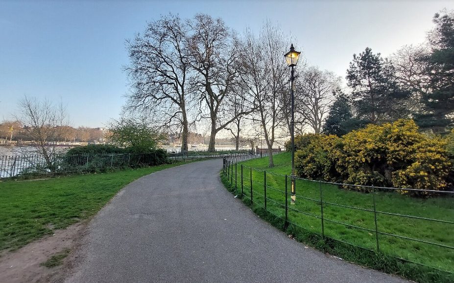
Battersea Park
One lap ~3 km · two laps ~6 km
A flat riverside park with loops past the Peace Pagoda, the boating lake and the gardens, and views across the Thames to Chelsea. Come for an easy run, a riverside walk or a picnic by the lake.
Route map & GPS tracks
Tap GPX to download a track for your watch or route app (Garmin, Strava, Komoot and others).
Refresh at a Coffee Shop or a Pub
Nostos Coffee
10a Battersea Park Road SW8 4FFAn award-winning espresso bar beside Battersea Park station, across the road from the park.
Pear Tree Café
Lakeside, Battersea Park SW11 4NJA lakeside café in the middle of the park, with art deco touches and plenty of outdoor tables by the boating lake.
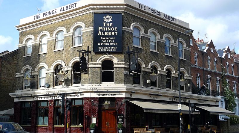 Photo: Ewan Munro from London, UK, CC BY-SA 2.0
The Prince Albert
85 Albert Bridge Road SW11 4PFA grand Victorian pub on the park's western edge near Albert Bridge, with a fire, good ales and food.
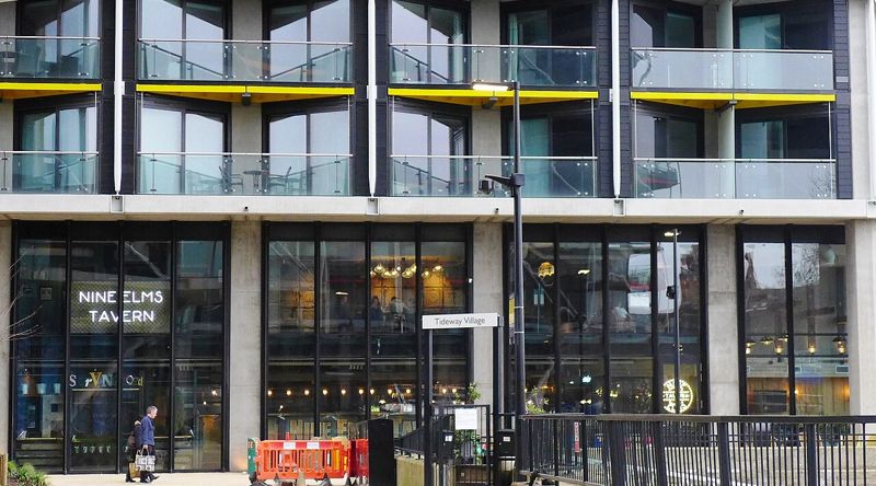 Photo: Ewan-M, CC BY-SA 2.0
Nine Elms Tavern
3 Riverlight Quay, Nine Elms SW8A modern Young's pub right on the Thames, with a riverside terrace and views of Battersea Power Station.
Rail: Battersea Park or Queenstown Road. Tube: Battersea Power Station.
Sunset over the river.
Café and toilets by the lake.